By Marianne Phillips
From the melting glaciers in the Arctic Circle to algae blooms in the previously pristine Lake Atitlan to ecosystem change around Murchison Falls to penguin tracking in Antarctica, the need for greater knowledge about the world around us and how it’s changing is both apparent and acute. Today, in partnership with the National Geographic Society, we’re excited to announce the winners in the Microsoft and National Geographic Society AI for Earth Innovation Grant program, announced in July.
These 11 changemakers will, with the help of artificial intelligence (AI), uncover new insights to better monitor, model and ultimately manage the world’s natural resources more effectively and sustainably. These grantees, like our 200-plus AI for Earth grantees globally, are testing innovative applications of AI in scientific exploration and research to help solve critical environmental challenges. We introduce you to these innovative leaders and their inspiring work below, in four categories — climate change, biodiversity conservation, agriculture and water.
Climate change
The data is clear — climate change is real and demands a global response. But what actions will be most effective? And how can progress be measured? These two grantees are helping answer these questions with AI.
Gaining a better understanding of Earth’s melting glaciers
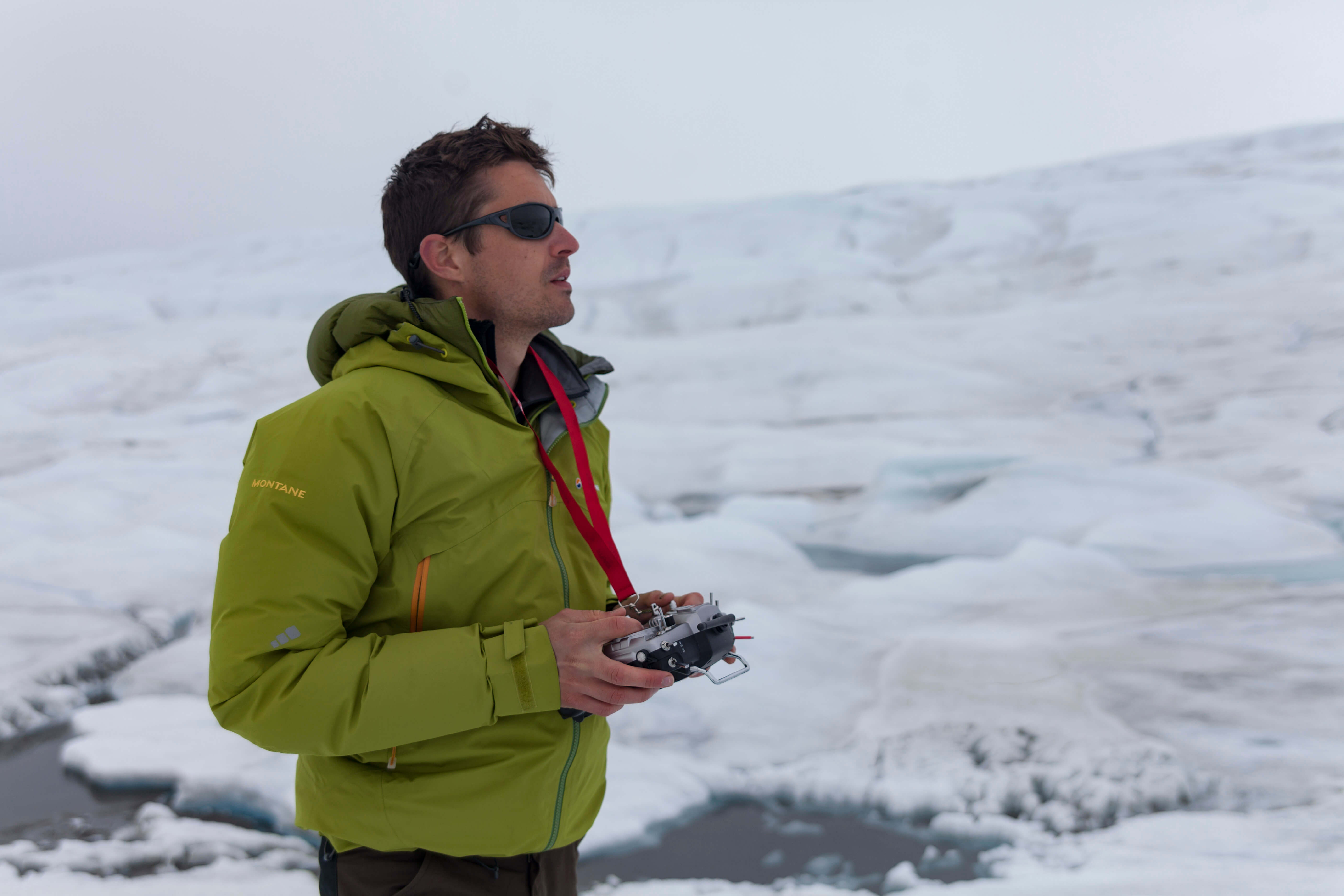
Melting glaciers provide some of the clearest visual evidence of the Earth’s warming temperatures. Unfortunately, collecting data and measuring these changes can only be done crudely, making it tricky to measure glacier surface change and melt rates, never mind project those changes into the future.
This is a frustration Joseph Cook knows all too well. In the last decade, he has conducted more than 12 Arctic field expeditions, mostly in field camps on the Greenland Ice Sheet, and pumped out findings and research insights in scientific journals, documentaries and conferences around the globe.
These experiences led Cook to machine learning, specifically applying it to optical data from drones and satellites to explore the changing cryosphere. The key is capturing the complexity of ice surface evolution, from pristine snow to dust-covered, algae-covered and waterlogged ice. By training the algorithms to recognize how the different surfaces reflect certain wavelengths of light — wavelengths that can be measured by satellites as well as by drones — precision study of vast areas becomes feasible. After testing the algorithms on imagery from custom-built drones, Cook’s team will then apply them to satellite remote-sensing data, enabling them to scale up to entire glaciers.
Predicting climate-related migration in Africa
People around the world are already adapting their behavior to deal with a changing climate, including changing their address. These actions can provide helpful clues as to how certain geographies are experiencing climate change and how people will respond. But predicting when, where and how climate change may induce mass migration of people is incredibly difficult because historical patterns in many countries are undocumented.
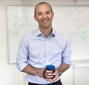
Solomon Hsiang helped break new ground with studies showing that climate change both increases conflict at all levels of society and correlates to dramatic drops in productivity. Now, Hsiang’s team is applying AI to see how climate changes affected migrations across Africa in the past, with an eye to the future.
The team is digitizing 1.6 million aerial photographs from surveys of 18 African countries taken since 1943. By applying machine learning to the scanned images, the team is reconstructing a chronicle of population density, urban extents and land use across Africa over time. With statistical tools, economic theory and climate model projections, they can use that chronicle to estimate migration risk across Africa in the future. By understanding who’s at risk, where and why, society — particularly governments — will finally have information that can change the present and adapt for the future.
Biodiversity conservation
The latest reports indicate the situation is dire for life on Earth. Considering the small fraction of species that have been classified out of the estimated millions of species on the planet, the situation is likely far worse. Time is short, resources are thin and the data exists on a planetary level. Sounds like a job for changemakers armed with AI, like these four grantees working on biodiversity projects.
Tracking Antarctic penguin populations
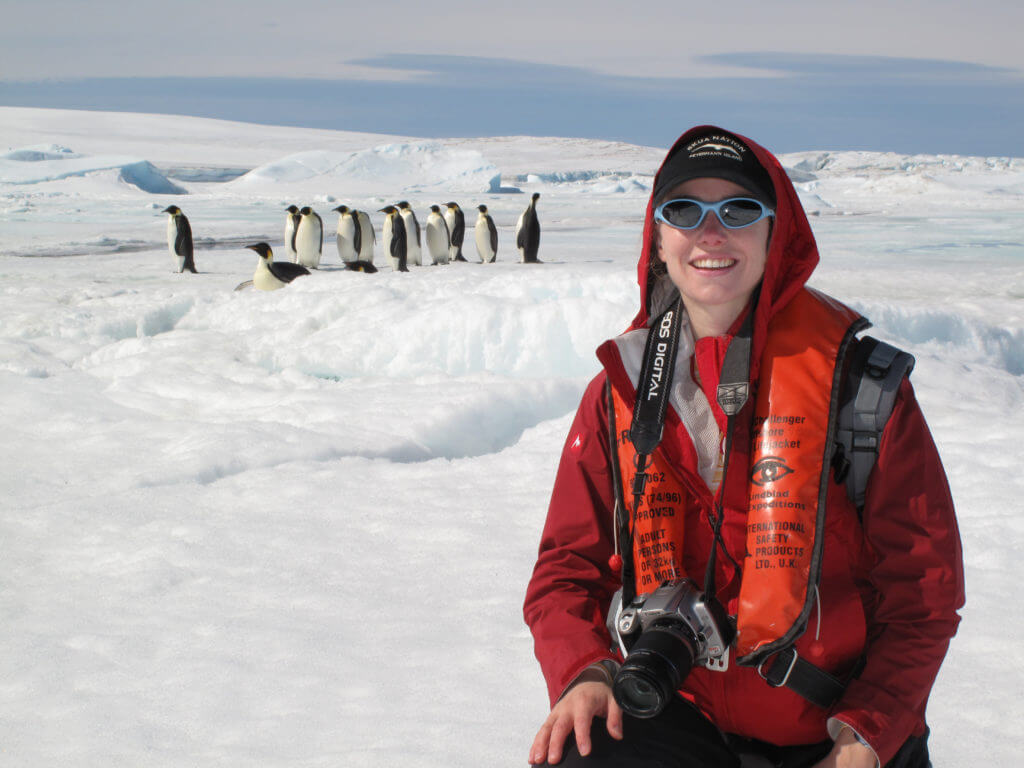
Antarctica and its surrounding oceans are a remote and pristine wilderness under threat from the impacts of climate change, with melting ice and warming temperatures changing the habitat and feeding grounds for local wildlife populations — including penguins. Penguin populations are tricky to track. Their remote habitat presents difficulties for both collecting and processing data, and identifying their colonies often means looking for hard-to-find markers, like guano stains against a similarly colored rock.
Heather Lynch, a quantitative ecologist and an associate professor at Stony Brook University, thinks that AI can be used to improve, if not solve, both data challenges. Specifically, she plans to use computer vision to find guano stains in satellite images. This will help inform and develop classification algorithms to generate population estimates for penguin colonies.
“With this penguin project, we have one of the first real examples where we can automatically get and process satellite imagery, generate population estimates and deliver that information through decision support tools — making it as readily available as a weather forecast,” explains Lynch. Her hope? A better forecast for penguins once conservationists and policymakers have data easily and continuously available.
Identifying bird songs in acoustic field recordings
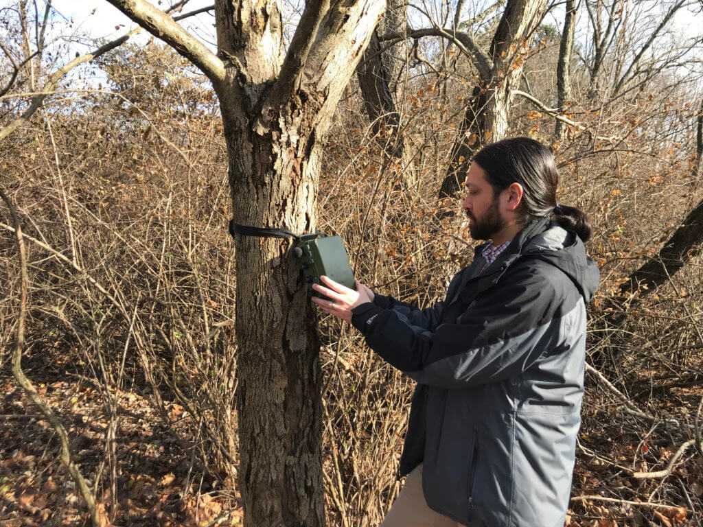
To protect threatened species, scientists need to gather a lot of data, often more than can be captured by direct field observers. Indirect observation methods — microphones, camera traps and other autonomous sensors — are indispensable tools in closing this gap. But these transformative tools come with a new challenge — more is only more if you can parse through it all to discern some insights.
Bird songs are particularly hard to classify due to their complexity. But bird populations are important to monitor because they provide an early warning of unhealthy environments. Justin Kitzes, an assistant professor at the University of Pittsburgh’s Department of Biological Sciences, is pioneering AI-assisted survey and classification of bird songs to better understand bird population changes.
His OpenSoundscape software will provide acoustic analysis on a laptop, cloud service or supercomputer, along with a trained classifier library for around 600 bird species found in the United States. The data collection enabled by this work will help to form the foundation for effective conservation of birds and other vocal species on a changing planet.
Monitoring insect sounds in tropical rainforests

While the benefits of rainforests are well known — vast biodiversity, as well as carbon storage and oxygen production — a detailed understanding of species and ecosystems contained within is still largely out of reach, as high canopies and dense vegetation make it hard to observe wildlife. Holger Klinck and Laurel Symes of Cornell University’s Bioacoustics Research Program are looking to AI-powered acoustic monitoring of insects as a way of better understanding the dynamics of rainforest habitats.
Insects typically produce a single mating call that varies little within a species, simplifying identification and classification. They also rarely travel far from where they’re born, making them a good indicator of the health of their local environment.
Klinck’s team is focusing first on neotropical rainforest katydids, a diverse species that occupies a central position in tropical food webs. How the wide variety of katydids interacts with the rest of the forest species, both plants and animals, can provide lots of information about the overall ecosystem. Klinck aims to scale beyond insects to other species, including birds, monkeys and other vocal animals, to help advance conservation of tropical rainforests.
Capturing and sharing data on lion populations
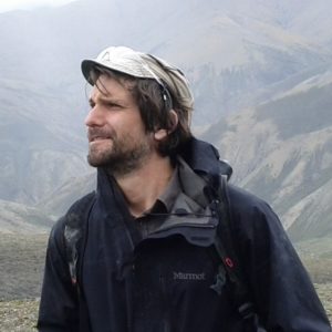
Effective animal conservation requires knowing what you have and where. But some animals travel widely, ignoring artificial boundaries such as national borders and conservation reserves. Those borders constrain researchers for travel and data sharing, as well as sheer resources, which makes it challenging to get accurate population numbers. Are they counting different animals in each area, or the same ones ranging over a wider area? What happens if the herd migrates across a border in the middle of the field work? Answering these questions is even harder when the animals have few distinguishing features — lions all look nearly the same even to highly trained researchers.
Making that easier is the task of the Lion Identification Network of Collaborators (LINC), the brainchild of biologist Stephanie Dolrenry and systems engineer Justin Downs. It brings together lion research through a custom web application that combines a collaborative database, innovative AI search capabilities and social media tools. LINC creates a platform for interaction and data sharing among conservation efforts, citizen scientists and government institutions, to help shape and inform conservation policy.
Currently, the LINC team is further developing AI techniques to identify individual lions. One technique maps the lion’s facial features with more precision than humans can see; the other can identify the whisker patterns, which like fingerprints are unique to each lion. Better identification will enable more coordinated research and conservation efforts.
Agriculture
Farmland around the world is ground zero for one of the greatest challenges of our time — feeding 3 billion more people than today, without many acres of new arable land, while using less water, dealing with more pests and managing unpredictable growing seasons. Solving this is possible, with a lot of human ingenuity and new technologies already being tested by our three grantees.
Improving irrigation efficiency in Uganda
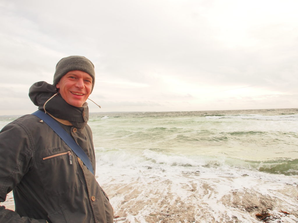
To get more yield with fewer resources, precision is key — particularly with a precious resource like water. One way to know how much water crops really need is by measuring how much water evaporates from the soil and plant surfaces — the evapotranspiration (or ET) rate. Without that, farmers are most likely watering inefficiently, but it’s hard to measure.
Torsten Bondo and Radoslaw Guzinski are exploring how to generate field-level ET measurements using machine learning and satellite imagery. They’re developing an open-source algorithm that can merge data from optical and thermal satellites as well as meteorological data to determine the right amount of water for effective irrigation. The system will be tested on a large national irrigation project in Uganda, where water is becoming scarce because of a growing population and climate change.
The team predicts that this technique could reduce water use by up to 30 percent for the same yield within the district. They hope the technique will pave the way for better irrigation practices in other drought-prone countries around the globe — helping save water and providing food for generations to come.
Mapping agricultural land and water use
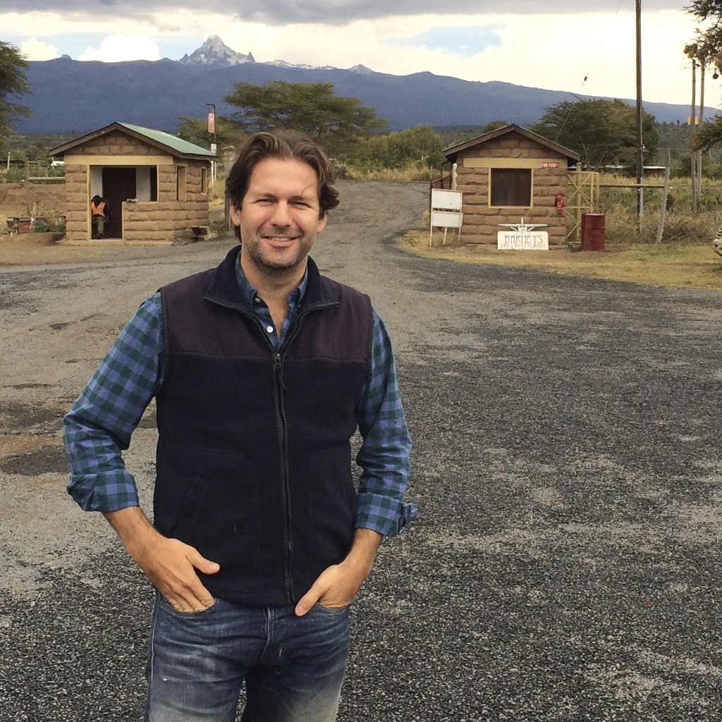
As climate change disrupts weather patterns, rainfall is becoming more unreliable. Farmers are drilling more wells for center-pivot irrigation — a method where crops are watered with sprinklers rotating around a central source. However, this approach can lead to lowered or even drained water tables, salination of coastal aquifers, land subsidence and disruption to ecosystems.
Kelly Caylor, a professor of ecohydrology at the University of California, Santa Barbara, is investigating how much water is being used from these groundwater sources. He is developing a web tool that uses machine learning to identify active crop fields in satellite imagery and geospatial analysis tools to monitor how crops change over time. Knowing where the crops are growing and for how long, and then correlating that to weather data, the system can also infer how much water is being used.
With a better understanding of how much groundwater is used by center-pivot irrigation will come opportunities to develop more optimal and efficient practices, as well as policies for better water stewardship. With the online map and tools, farmers, water resource managers, policymakers and the public will be better able to make agriculture more land and water efficient.
Detecting land cover changes in Uganda

Uganda’s Murchison Falls National Park is a safe home for iconic species like elephants, giraffes, hippos and chimpanzees. Nearby Lake Albert and the surrounding area support fishing and agriculture and are rich in other natural resources, like oil, that also provide income to the country. Managing natural resources, especially when they are potentially in competition, is essentially impossible to do without knowing what changes are happening to the land. Around Murchison Falls, land cover mapping was last done more than a decade ago.
Ketty Adoch, a geographical information systems specialist, is working to address this. A huge advocate for applying technology tools to geographic data, she will use supervised classification and machine learning on satellite images to detect changes in the shape or size of land cover types, like shadows from changing tree cover. She’ll conduct these analyses both historically and, once promising algorithms have been developed, on an ongoing basis for the coming decade.
The key outcomes — algorithms and maps to document the findings — will enable researchers, conservationists and technologists to monitor land cover change in the area, see the impact of oil activities and support conservation efforts going forward.
Water
Freshwater makes up less than 2 percent of the water on the planet, and just 1 percent of that is readily accessible. That’s a lot of pressure on an incredibly important and very finite resource. Two of our grantees are leading the way on new techniques to measure, monitor and manage this precious resource more effectively.
Providing early warning of harmful algal bloom outbreaks
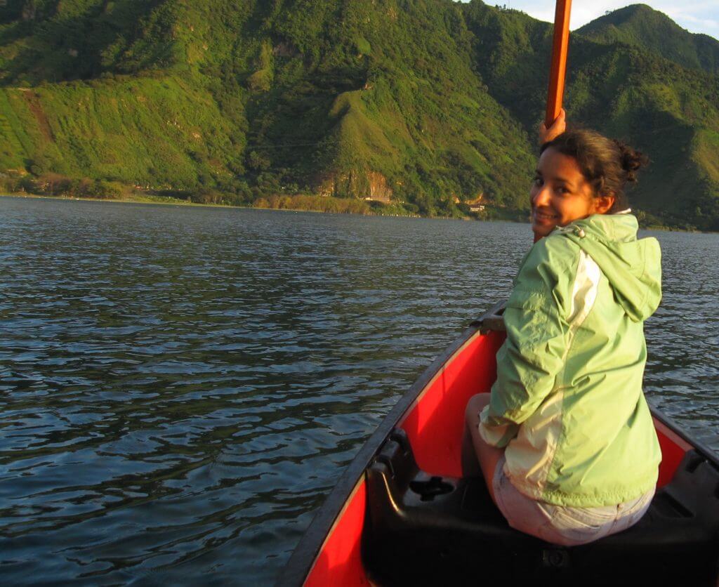
For many years, the waters of Lake Atitlán in the Guatemalan highlands were pristine, a landmark for natural beauty and biodiversity. However, in 2009 the lake experienced the first of several harmful algal blooms (HABs) — out-of-control colonies of algae that suck oxygen out of the water and make it potentially toxic to life.
Africa Flores describes that first HAB in Lake Atitlán as a wakeup call for action to preserve its precious biodiversity. But Guatemala has limited resources and means to investigate and better understand the causes and help predict and prevent future outbreaks. Thankfully, Flores’ work as a research scientist at the Earth System Science Center at the University of Alabama in Huntsville allows her to focus on this very issue.
Flores and her team will conduct deep analyses on image datasets from different satellites. Machine learning will help them to identify the variables that could predict future algal blooms. Knowledge on what those triggers are can turn into precise preventative action, not just in the lake in Flores’ home country but also in other freshwater bodies with similar conditions in Central and South America.
Detecting and mapping small dams and reservoirs
Millions of dams and reservoirs around the world deliver drinking water and hydropower generation, but if not built and managed thoughtfully, they can pose risks to the environment. And surprisingly few are mapped systematically, which makes it essentially impossible to understand how these interact and affect one another and the ecosystems around them.
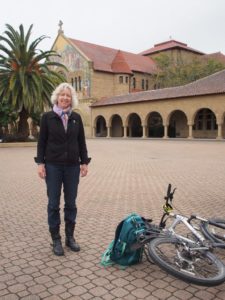
At the Natural Capital Project, a small team — Gretchen Daily, Lisa Mandle, Richard Sharp and Charlotte Weil — is out to change the status quo. The team is combining remote sensing data with machine learning to develop a model that can detect smaller dams and reservoirs. To do this, they will locate thousands of already-mapped dams on high-resolution satellite images using the dams’ coordinates and then use machine learning to project where other dams are located based on shared characteristics in the satellite imagery.
The result will be an open-source algorithm for detecting dams and reservoirs, as well as sample results — all made freely available to the broader conservation and sustainable development community. Knowing where the dams and reservoirs are located will contribute to mitigating their impact, to conserving and managing hydrological ecosystem services, and to planning development more sustainably.
To learn more about the Microsoft and National Geographic Society partnership, visit https://www.nationalgeographic.org/grants/grant-opportunities/ai-earth-innovation/.
To learn more about AI for Earth, visit https://www.microsoft.com/en-us/aiforearth/.
