
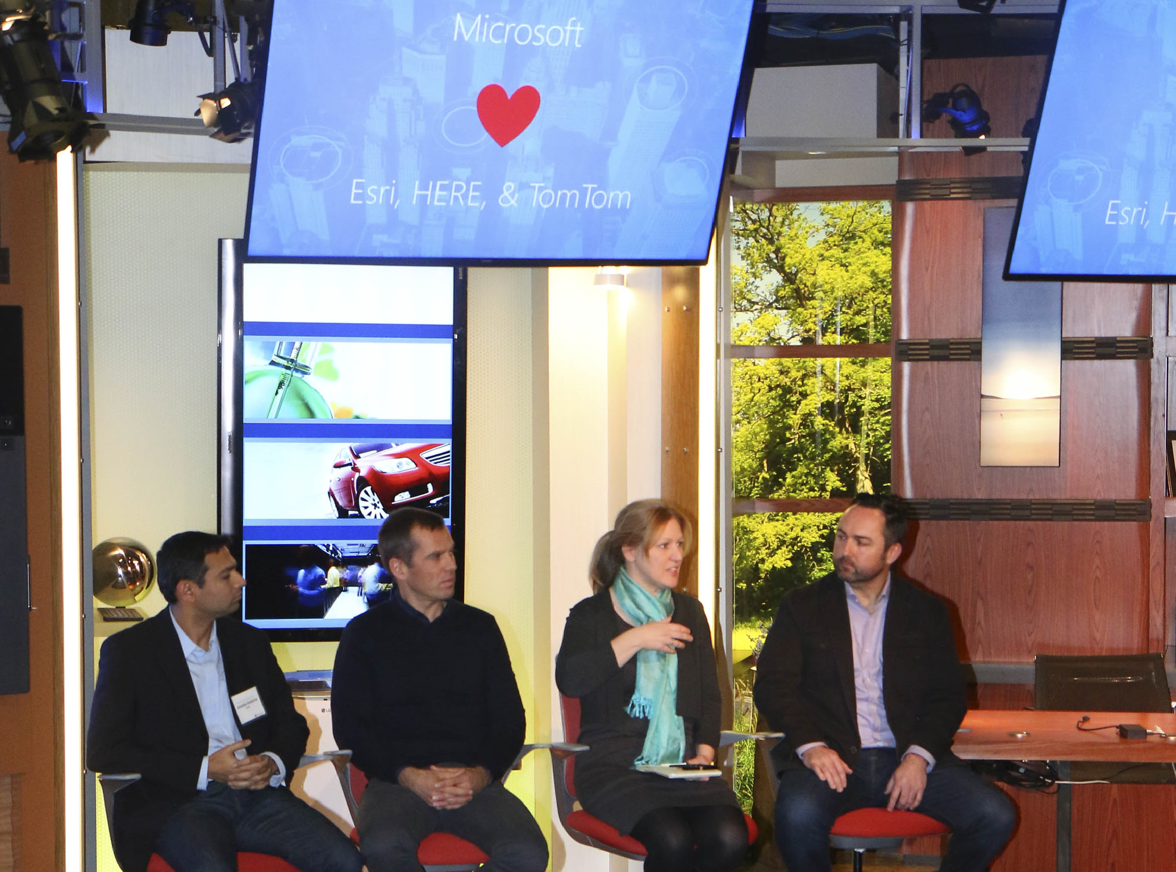
Location is essential in understanding the world around us, and making sense of complex location data has enormous potential to transform lives, cities and industries. The journey starts with an ecosystem that leverages the heritage and first-class expertise and technologies of our partners. As a step in this direction, TomTom, HERE and Esri — all titans in mapping technology — joined us Wednesday at the Microsoft Technology Center in Detroit to share our goals of pioneering intelligent location-based services across Microsoft services and technologies.
Through a new partnership, TomTom and Microsoft announced they will join forces to integrate location-based services into Microsoft Azure to make it even easier and more flexible for developers to build and manage enterprise, mobile, web and Internet of Things (IoT) applications that are location-aware. A global leader in navigation and mapping products, TomTom brings to Microsoft advanced location technologies — optimized for fast updates — and innovative maps and capabilities, including its High Definition Map and RoadDNA technology for autonomous driving.
“Through our partnership with Microsoft, we can bring all our map layers to the Microsoft Azure ecosystem and foster innovation that makes people’s lives better,” Pieter Gillegot-Vergauwen, vice president of TomTom product management and maps, told an audience of business and automotive influencers at the Detroit event on Wednesday. “We’re working actively to lead the way to a future of smart mobility, smarter cities and autonomous driving.”
Microsoft also announced an extension of our collaboration with HERE, a longtime partner that powers location data in many of our first-party services, including Bing, Cortana, Windows and Office. A global map and data services provider, HERE also powers the Bing Maps API, enabling store locator maps, asset tracking and other location services for thousands of businesses and developers. A new agreement allows Microsoft to expand use of HERE data and services into productivity scenarios in cars.
“We are entering a new era of services around connected cars in terms of safety, in-car productivity and making journeys more efficient,” said Ashish Pandya, director of corporate strategy for HERE. “We don’t think one single entity can do this by itself. It’s going to take a collaborative effort. We’re very pleased to expand the agreement we’ve had with Microsoft.”
Esri, a market leader in geographic information system (GIS) technology, is another longstanding partner of Microsoft, with its ArcGIS products deeply integrated into many of our applications and services. Esri’s real-time GIS runs on Azure and can ingest any real-time, location-based data, including weather data, social media feeds, live sensor data and location services data from companies like HERE and TomTom. We recently announced a preview of ArcGIS Maps for Power BI for compelling visualizations, and we value Esri as a key partner in geospatial technology for enterprise customers.
“Esri’s ArcGIS platform is turbocharged by Azure, and it’s the power and scalability of the performance of the cloud that starts to make transacting billions of observations, tens of thousands of images and millions of maps a reality,” said Heather Blatchford, director of global alliances at Esri.
Together with our partners, our bold ambition is to create the next “world graph,” a new data index of physical places, objects and devices and their interconnectivity. We believe this repository of geospatial data will be the next big concept in graph technology, which already includes well-established systems such as Bing’s knowledge graph, Facebook’s people graph and Microsoft Office’s and LinkedIn’s professional graph.
In the future, Microsoft wants to enable global location-based services for customers differentiated by an open platform, with large data sets and natively integrated functionality for developers, and deep integration with other data graphs for new scenarios. We envision a platform that gives our customers choices, with many options for customization and opportunities to power smart cities, IoT and industrial transformation, from manufacturing to retail to automotive.
Scenarios could include connected cars that combine up-to-date mapping, traffic and weather data with a driver’s schedule, to-do lists and preferences for personalized planning and routing. Intelligent cars could re-route away from accidents, recommend nearby restaurants and find commutes with good cell coverage for work calls. To increase safety and efficiency, data from road conditions, car sensors and driver behavior can inform predictive car maintenance.
Cities could use location-based services to analyze, influence and improve traffic. Location data can help businesses manage logistics, optimize fleets and track customer engagement.
Today, location data isn’t limited to roads and destinations. It includes massive data sets that can help quantify the physical world and understand sweeping, geographic change over time. For example, environmental groups could apply machine learning and computer vision to aerial images or deep-sea sensors to analyze and even predict deforestation or ocean toxicity.
We look forward to growing our collaboration with Esri, HERE and TomTom to enable location-based services for digital transformation, and to partnering with automakers as they continue to bring connected cars to life.